|
Dust to Dust
|
| Jason Lamport died on 23 August 2003. He requested that his ashes be scattered in a "wild and lonely place". On 12 March 2004, Jason's ashes were scattered in this little canyon near the trail from Cottonwood Spring to the Lost Palms Oasis in Joshua Tree National Park, an area in which he had been backpacking the winter before his death. (Click on any picture on this page to see a larger version.) |
|
| A small amount of his ashes were buried in a spot marked by |

|
this cairn. The cairn appears in the bottom right of the previous picture, to the right of a yucca plant and to the left of a California juniper (the large bush). You'll have to click on the picture to see the cairn. The site is 1/4 mile NNE of the 3-mile marker on the Lost Palms Oasis Trail, |
|
which begins at Cottonwood Spring, near the south entrance station to the park, reached from Interstate 10. This is an easy trail through beautiful desert scenery, best hiked in October through April. (Click here for a topo map of the trail.) You should wear sturdy shoes to go from the trail to the site.
The coordinates of the site are:
N. 33° 43' 11.8" W. 115° 46' 4.4" To find it, go to the 3-mile marker, whose coordinates are: N. 33° 42' 58.8" W. 115° 46' 11.8" However, the 3-mile marker disappeared in 2006 or 2007 and was still gone in spring, 2009. Click here for directions to where the 3-mile marker should be. |
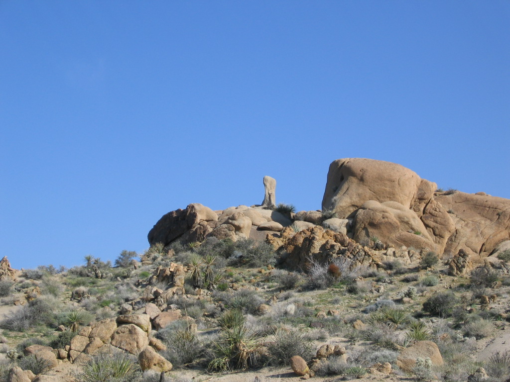
| About 50 yards before (west of) the marker, go north (left) to the top of the small ridge just off the trail. From there, you will see to the north this rock formation atop the next ridge. |
|
|
Look for the bone-shaped knob on the left of the formation, which looks like this from closer up. Climb the ridge to the right of the group of rocks shown in the first of these two photos. |
|

|
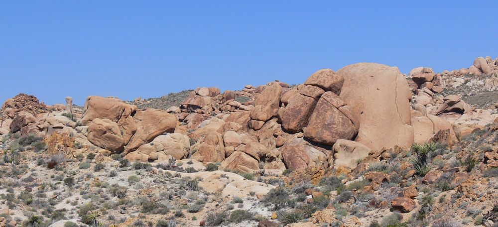
From the top of that ridge, you will see this rock formation. Go to the right of it and continue in the same direction until you get to the rim of a small canyon. |
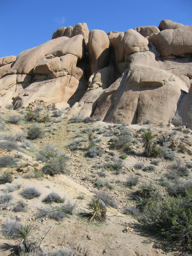
| On the rim, probably a bit to the east of where you are,
is this rock. Walk just past the rock and look down into the canyon.
You will see the view shown in the first photo on this page. There is
a small dry wash (stream bed) at the bottom of
the
canyon, between you and the cairn. | 
|
| The edge of the canyon is steep, but you can scramble down it there. Or you can go to the east where it's easier to get down, and then walk back up the wash. If you go there, tread lightly. The desert
soil is fragile. Please add a few rocks to the cairn and let know me
that you've visited the site. You can find my coordinates at:
-Leslie Lamport |